
Nebli Marine · Early access
Understand your coastline and the sea beside it.
Nebli Marine is designed to bring drifters, drone flights, shoreline cameras and in-water instruments into one georeferenced record, so a decision, a permit or a verification can rest on data rather than argument.
One record
A record a regulator, a funder or the public can audit
Raw, and kept
Designed so every raw reading is kept and never edited, a gap shows as a gap, and corrections sit beside the raw values, never in their place.
Placed and traceable
Designed to place every reading on the map with who measured it, where, when, with what instrument, and what was corrected.
Yours, in open formats
Designed to export all of it in open formats, with no fee.
Measure before you intervene
Know how the water moves where the equipment would go
The nearshore zone, measured
Marine is designed to measure currents, waves, wind and arrivals in the water where a barrier, a pump or a vessel would go, before anyone puts one there.
Drifters, many of them
Low-cost drifters, designed to be released in numbers where the question is, to log through patchy links and to hand their data over when a gateway passes.
Cameras on the shore
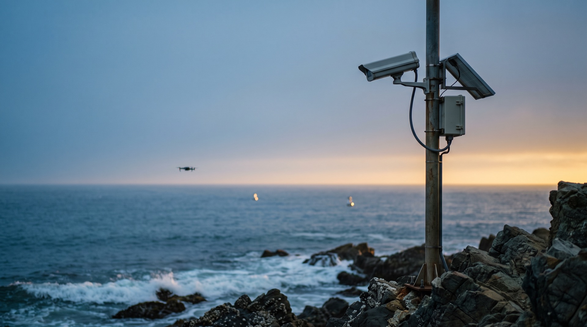
Fixed shoreline cameras and drone video are designed to stream live, on the live video Nebli Drones delivers today, with rules designed to flag an arrival to the people who act.
What it answers
From measurements to answers
Mosaics and cover maps
Designed to turn drone flights into georeferenced mosaics and cover maps, with repeat passes giving drift speed and direction, and satellite imagery on the same map.
Arrivals and outcomes
Marine is designed to quantify how much arrived, how much an intervention intercepted, fresh versus decomposed, the bycatch, and water quality before and after, against a baseline.
Ready for models
Designed to make features and labeled data ready for your own models, and for ours where we have them, starting with surface-cover detection in drone images, which is in research.
Request early access
We are opening early access to a small number of coastal programs first.
Who it is for
- Coastal cities and port authorities facing arrivals on their shore.
- Marine sanctuaries and environmental agencies that permit and verify what is done in their water.
- Scientists, consultancies and drone operators who measure for them.
- Funders who need an audited record before they pay for an intervention.
What happens next
A person reads every request, and every reply comes from one of us.
Request received
Thank you. A person reads every request, and we will reply to you personally.
We could not send your request from this page. Email it to partners@neblihq.com.